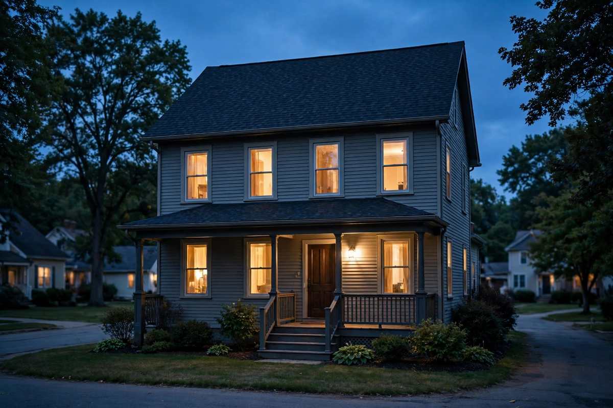
Sherman Hill covers about 15 blocks northwest of downtown Des Moines, bounded roughly by I-235 to the north, Martin Luther King Jr. Parkway to the west, Ingersoll Avenue to the south, and 15th Street to the east, under the neighborhood plan update adopted July 24, 2017. The name was adopted in the early 1970s from Hoyt Sherman Place, and the Sherman Hill Association formed in 1977. The National Register district was listed January 25, 1979, with 265 contributing properties built from 1877 to 1961, described in the nomination as the city's highest concentration of late 19th and early 20th century domestic architecture. Single-family houses date from about 1880, with multi-family buildings from 1900 to 1920.
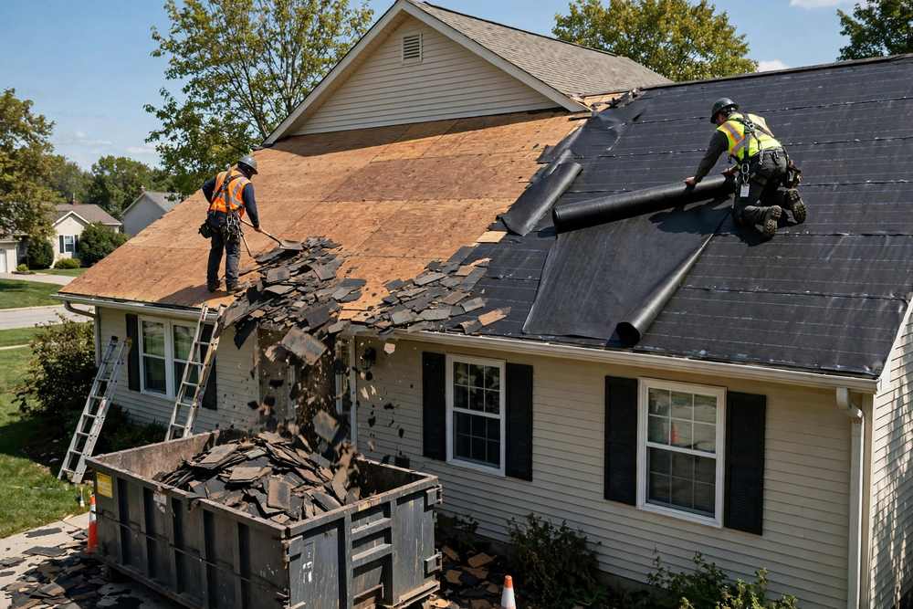
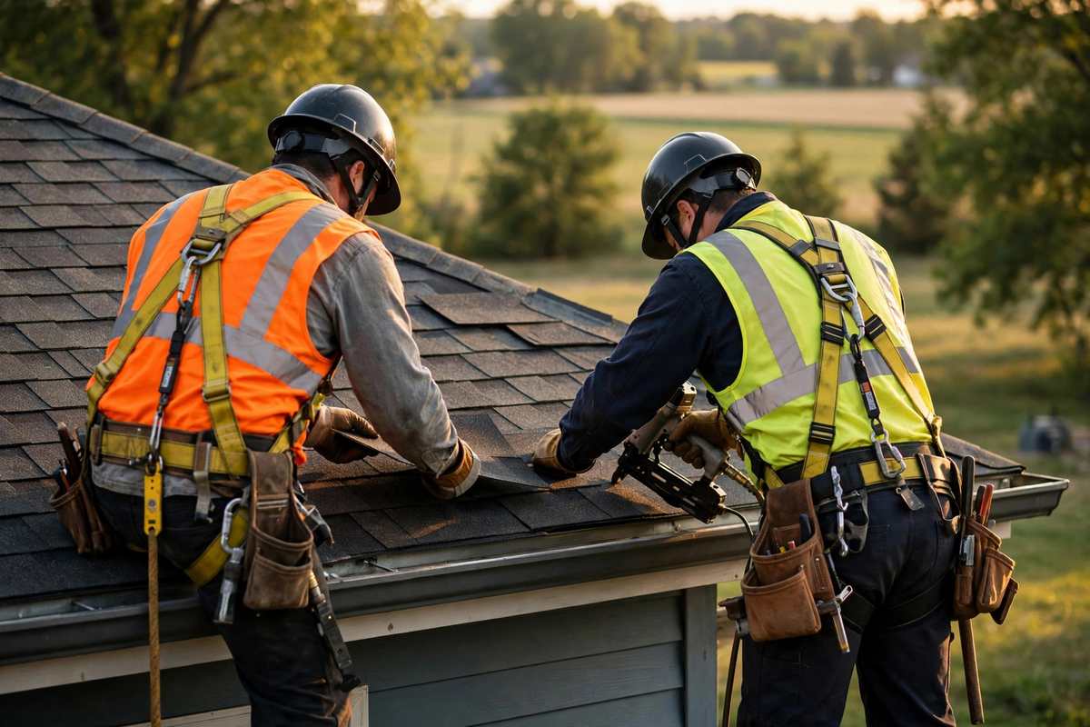
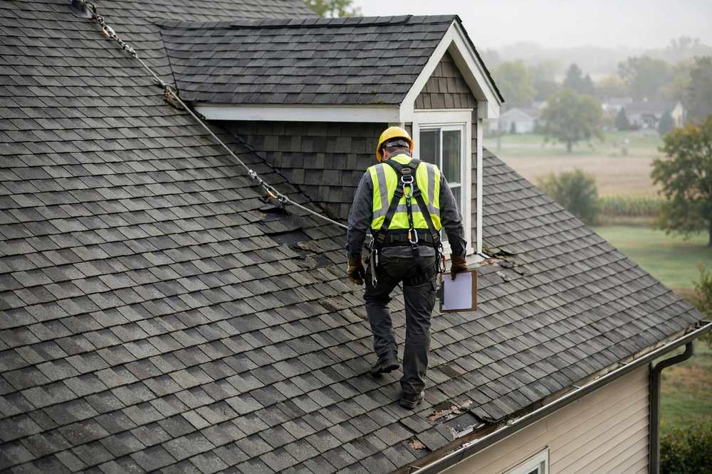
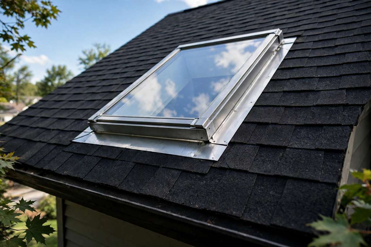
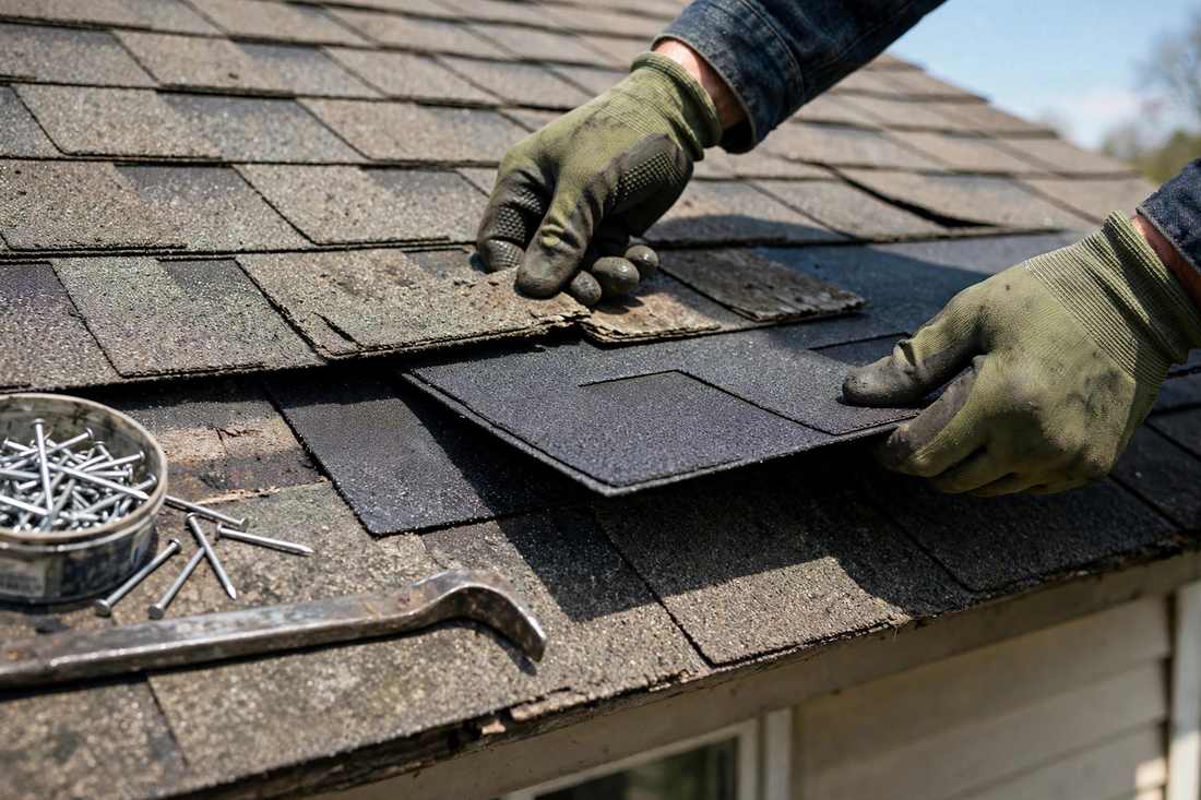
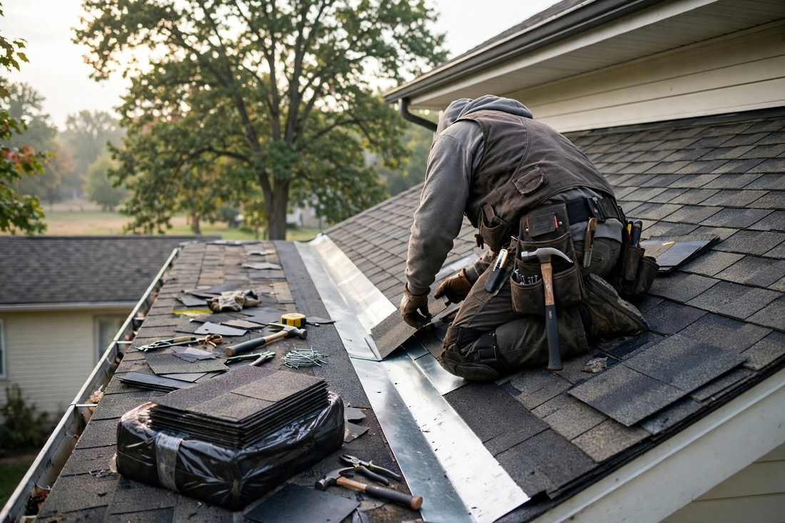
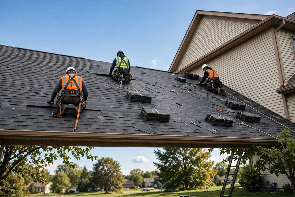
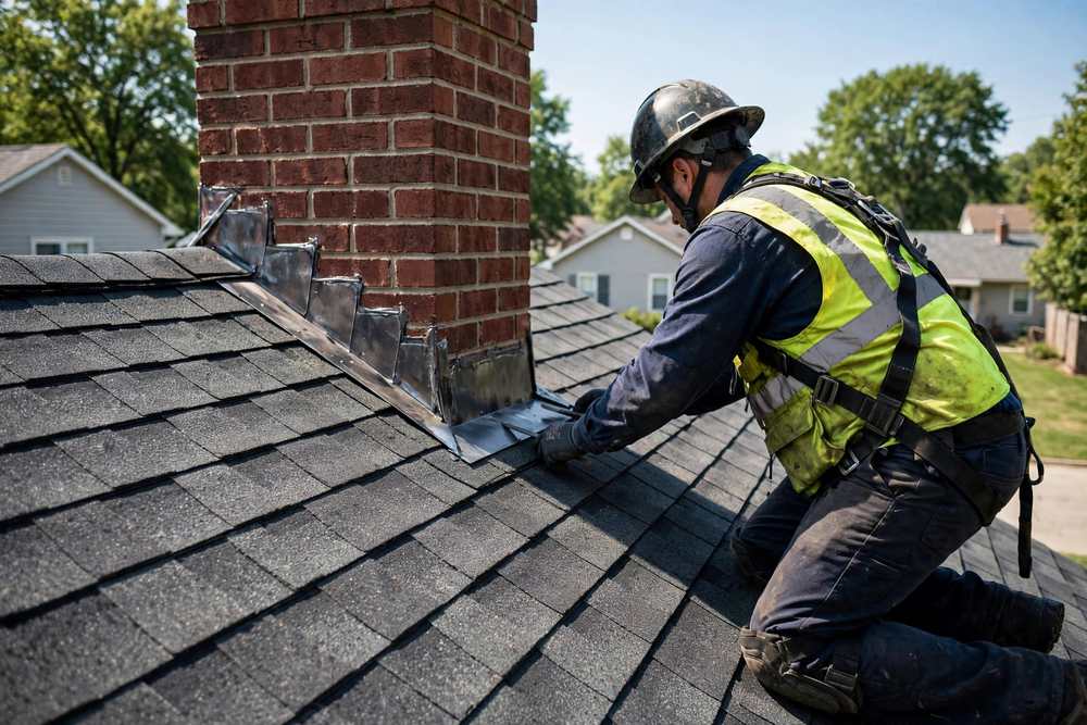
What matters for roofing is the LOCAL district, established October 4, 1982, by Ordinance 10,219, with its bounds realigned October 5, 2020, to match the National Register bounds. National Register listing alone imposes nothing; it is the local designation under Municipal Code chapter 58 that carries design review. Before any exterior alteration, demolition, or construction within a local historic district, a Certificate of Appropriateness must be obtained from the Historic Preservation Commission, and 2025 Commission packets confirm that roofing triggers review: a Sherman Hill property at 826 18th Street received an administratively approved Certificate of Appropriateness on April 4, 2025, to replace asphalt shingles with new ones, a like-for-like re-roof. The Ingersoll Avenue commercial corridor and Edmunds Elementary sit outside both historic districts. No fee figure is stated here, because the fee on the old application form is unverified as current.